
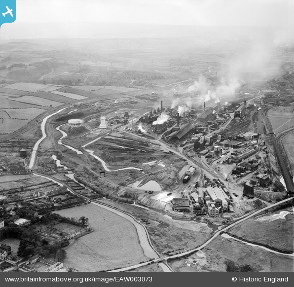
EAW003073 ENGLAND (1946). The Devonshire Works and environs, Staveley, from the east, 1946
© Copyright OpenStreetMap contributors and licensed by the OpenStreetMap Foundation. 2026. Cartography is licensed as CC BY-SA.
Nearby Images (5)
EAW003073

EPW057349

EPW041675

EAW003071

EAW044347

Details
| Title | [EAW003073] The Devonshire Works and environs, Staveley, from the east, 1946 |
| Reference | EAW003073 |
| Date | 8-October-1946 |
| Link | |
| Place name | STAVELEY |
| Parish | STAVELEY |
| District | |
| Country | ENGLAND |
| Easting / Northing | 443098, 374985 |
| Longitude / Latitude | -1.3537020077046, 53.269824842853 |
| National Grid Reference | SK431750 |
