
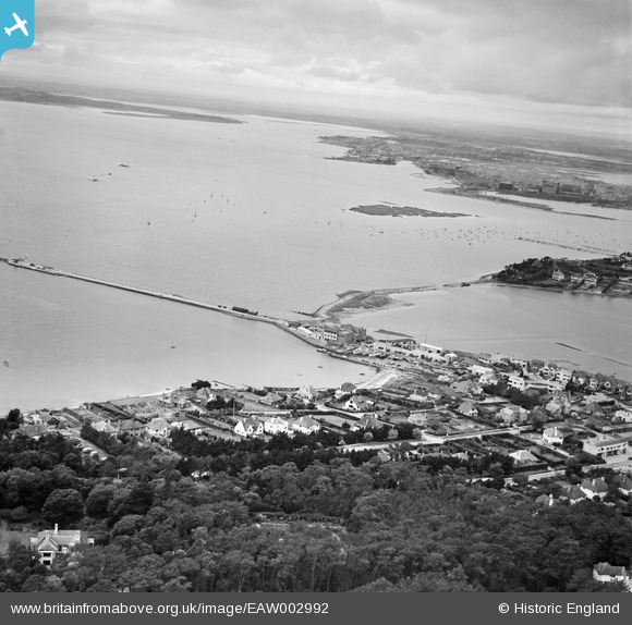
EAW002992 ENGLAND (1946). Salterns Pier and Poole Harbour, Poole, from the east, 1946
© Copyright OpenStreetMap contributors and licensed by the OpenStreetMap Foundation. 2025. Cartography is licensed as CC BY-SA.
Nearby Images (3)
EAW002992

EPR000275

EPR000279

Details
| Title | [EAW002992] Salterns Pier and Poole Harbour, Poole, from the east, 1946 |
| Reference | EAW002992 |
| Date | 3-October-1946 |
| Link | |
| Place name | POOLE |
| Parish | |
| District | |
| Country | ENGLAND |
| Easting / Northing | 403931, 89629 |
| Longitude / Latitude | -1.944324674024, 50.705709870151 |
| National Grid Reference | SZ039896 |
