
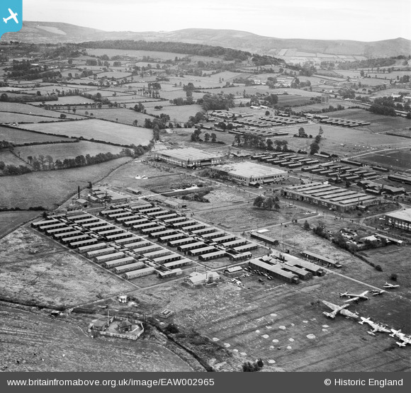
EAW002965 ENGLAND (1946). RAF Locking and environs, Locking, from the north-west, 1946
© Copyright OpenStreetMap contributors and licensed by the OpenStreetMap Foundation. 2026. Cartography is licensed as CC BY-SA.
Nearby Images (2)
EAW002965

EAW002966

Details
| Title | [EAW002965] RAF Locking and environs, Locking, from the north-west, 1946 |
| Reference | EAW002965 |
| Date | 2-October-1946 |
| Link | |
| Place name | LOCKING |
| Parish | LOCKING |
| District | |
| Country | ENGLAND |
| Easting / Northing | 337075, 160722 |
| Longitude / Latitude | -2.9035004663397, 51.341595291521 |
| National Grid Reference | ST371607 |
