
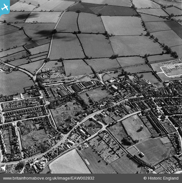
EAW002832 ENGLAND (1946). College Street, Kimbolton Road and environs, Higham Ferrers, 1946
© Copyright OpenStreetMap contributors and licensed by the OpenStreetMap Foundation. 2026. Cartography is licensed as CC BY-SA.
Nearby Images (10)
EAW002832

EAW043229

EAW043233

EAW043230

EAW043231

EAW043228

EAW043227

EAW043225

EAW043226

EAW043232

Details
| Title | [EAW002832] College Street, Kimbolton Road and environs, Higham Ferrers, 1946 |
| Reference | EAW002832 |
| Date | 30-September-1946 |
| Link | |
| Place name | HIGHAM FERRERS |
| Parish | HIGHAM FERRERS |
| District | |
| Country | ENGLAND |
| Easting / Northing | 496209, 268631 |
| Longitude / Latitude | -0.58872521885953, 52.306966339379 |
| National Grid Reference | SP962686 |
Pins

John W |
Tuesday 19th of November 2019 04:46:44 PM | |
|
SimonA |
Sunday 14th of April 2019 02:05:35 PM | |

melgibbs |
Thursday 19th of February 2015 08:04:50 PM | |
|
melgibbs |
Thursday 19th of February 2015 08:04:23 PM |