
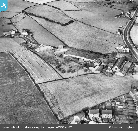
EAW002662 ENGLAND (1946). The Douglas, Lawson and Co Engineering Works, Birstall, 1946
© Copyright OpenStreetMap contributors and licensed by the OpenStreetMap Foundation. 2026. Cartography is licensed as CC BY-SA.
Nearby Images (5)
EAW002662

EAW002659

EAW002660

EAW002661

EAW002663

Details
| Title | [EAW002662] The Douglas, Lawson and Co Engineering Works, Birstall, 1946 |
| Reference | EAW002662 |
| Date | 19-September-1946 |
| Link | |
| Place name | BIRSTALL |
| Parish | |
| District | |
| Country | ENGLAND |
| Easting / Northing | 422893, 427089 |
| Longitude / Latitude | -1.6528822468222, 53.739460030748 |
| National Grid Reference | SE229271 |
