
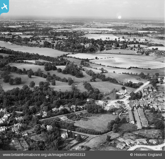
EAW002313 ENGLAND (1946). Egham Hill Roundabout, Runnymede Park and environs, Englefield Green, from the south, 1946
© Copyright OpenStreetMap contributors and licensed by the OpenStreetMap Foundation. 2026. Cartography is licensed as CC BY-SA.
Nearby Images (5)
EAW002313

EAW002304

EAW002312

EAW002307

EPW026270

Details
| Title | [EAW002313] Egham Hill Roundabout, Runnymede Park and environs, Englefield Green, from the south, 1946 |
| Reference | EAW002313 |
| Date | 21-August-1946 |
| Link | |
| Place name | ENGLEFIELD GREEN |
| Parish | |
| District | |
| Country | ENGLAND |
| Easting / Northing | 500494, 171466 |
| Longitude / Latitude | -0.55417829266503, 51.432780730189 |
| National Grid Reference | TQ005715 |
Pins

Sparky |
Monday 18th of September 2017 12:11:15 AM |