
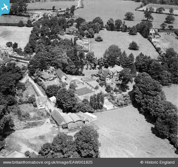
EAW001825 ENGLAND (1946). Lynton House and environs, Rowington Green, 1946
© Copyright OpenStreetMap contributors and licensed by the OpenStreetMap Foundation. 2026. Cartography is licensed as CC BY-SA.
Nearby Images (5)
EAW001825

EAW001822

EAW001824

EAW001823

EPW061771

Details
| Title | [EAW001825] Lynton House and environs, Rowington Green, 1946 |
| Reference | EAW001825 |
| Date | 12-July-1946 |
| Link | |
| Place name | ROWINGTON GREEN |
| Parish | ROWINGTON |
| District | |
| Country | ENGLAND |
| Easting / Northing | 420212, 270014 |
| Longitude / Latitude | -1.703383558136, 52.327459803189 |
| National Grid Reference | SP202700 |
Pins

Class31 |
Monday 16th of September 2013 07:20:19 AM | |
|
Class31 |
Monday 16th of September 2013 07:04:40 AM | |
|
Class31 |
Monday 16th of September 2013 07:02:58 AM | |
|
Class31 |
Monday 16th of September 2013 06:58:20 AM | |
|
Class31 |
Monday 16th of September 2013 06:55:44 AM | |
|
Class31 |
Monday 16th of September 2013 06:55:02 AM | |
|
Class31 |
Monday 16th of September 2013 06:45:33 AM | |
|
Class31 |
Monday 16th of September 2013 06:44:28 AM |
User Comment Contributions
Hi Class31, Thanks for finding this group; we'll update the catalogue and post the new records here in due course. You may like to know that the original Aerofilms Ltd Register entry is "House at Smethwick". Yours, Katy Britain from Above Cataloguing Team Leader |
Katy Whitaker |
Friday 1st of November 2013 01:38:26 PM |
View looking north. |
Class31 |
Monday 16th of September 2013 07:16:00 AM |
Location is Rowington Green in Warwickshire. |
Class31 |
Monday 16th of September 2013 06:41:40 AM |
Eureka I can identify the location of this group of photos EAW001822 EAW001823 EAW001824 EAW001825 |
Class31 |
Monday 16th of September 2013 06:39:56 AM |