
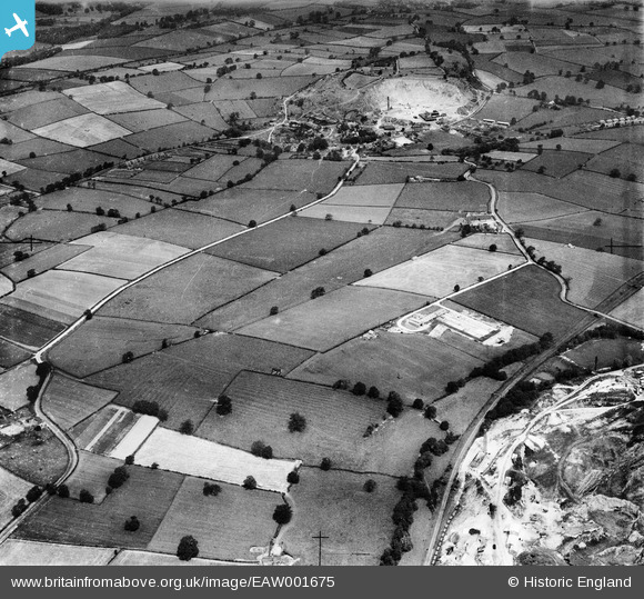
EAW001675 ENGLAND (1946). Fields between Breedon Limestone Quarry and Cloud Hill Quarry, Breedon on the Hill, from the south, 1946
© Copyright OpenStreetMap contributors and licensed by the OpenStreetMap Foundation. 2026. Cartography is licensed as CC BY-SA.
Nearby Images (2)
EAW001675

EPW062113

Details
| Title | [EAW001675] Fields between Breedon Limestone Quarry and Cloud Hill Quarry, Breedon on the Hill, from the south, 1946 |
| Reference | EAW001675 |
| Date | 12-July-1946 |
| Link | |
| Place name | BREEDON ON THE HILL |
| Parish | BREEDON ON THE HILL |
| District | |
| Country | ENGLAND |
| Easting / Northing | 440794, 321770 |
| Longitude / Latitude | -1.3949829826526, 52.791622131707 |
| National Grid Reference | SK408218 |
Pins
Be the first to add a comment to this image!