
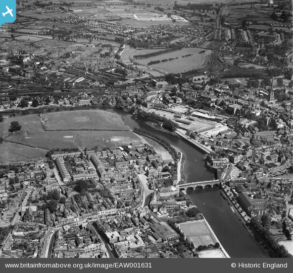
EAW001631 ENGLAND (1946). Welsh Bridge, the Cattle Market and environs, Shrewsbury, 1946
© Copyright OpenStreetMap contributors and licensed by the OpenStreetMap Foundation. 2026. Cartography is licensed as CC BY-SA.
Nearby Images (8)
EAW001631

EAW001632

EPW017973

EPW040077

EAW001629

EAW012514

EPW017974

EPW017985

Details
| Title | [EAW001631] Welsh Bridge, the Cattle Market and environs, Shrewsbury, 1946 |
| Reference | EAW001631 |
| Date | 12-July-1946 |
| Link | |
| Place name | SHREWSBURY |
| Parish | SHREWSBURY |
| District | |
| Country | ENGLAND |
| Easting / Northing | 349127, 312875 |
| Longitude / Latitude | -2.7531060213387, 52.710801516284 |
| National Grid Reference | SJ491129 |
Pins
Be the first to add a comment to this image!