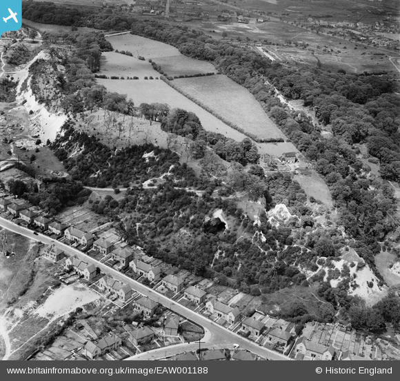
EAW001188 ENGLAND (1946). Wren's Nest Hill, Dudley, 1946
    © Copyright OpenStreetMap contributors and licensed by the OpenStreetMap Foundation. 2025. Cartography is licensed as CC BY-SA.
  
Details
| Title | [EAW001188] Wren's Nest Hill, Dudley, 1946 | 
| Reference | EAW001188 | 
| Date | 21-June-1946 | 
| Link | |
| Place name | DUDLEY | 
| Parish | |
| District | |
| Country | ENGLAND | 
| Easting / Northing | 393648, 291593 | 
| Longitude / Latitude | -2.0936280289961, 52.52181387485 | 
| National Grid Reference | SO936916 | 
Pins
|  Sedgley Road (Tipton side) |   Mr | Monday 9th of September 2019 10:53:46 PM | 
|  A4123 Birmingham New Road |   Mr | Monday 9th of September 2019 10:53:03 PM | 
|  5 Sedgley Road (my first house) Built c1928 |   Mr | Monday 9th of September 2019 10:52:10 PM | 
|  The Foxyards Pub (aka Rag and Mop) |   DaveT | Tuesday 21st of January 2014 12:49:44 PM | 
 
             
  ![[EAW001188] Wren's Nest Hill, Dudley, 1946](http://britainfromabove.org.uk/sites/all/libraries/aerofilms-images/public/100x100/EAW/001/EAW001188.jpg) 
  
                                          ![[EAW001189] Wren's Nest Hill, Dudley, 1946. This image has been produced from a damaged negative.](http://britainfromabove.org.uk/sites/all/libraries/aerofilms-images/public/100x100/EAW/001/EAW001189.jpg) 
 ![[EAW001191] Wren's Nest Hill, Dudley, 1946](http://britainfromabove.org.uk/sites/all/libraries/aerofilms-images/public/100x100/EAW/001/EAW001191.jpg) 
 ![[EAW001190] Wren's Nest Hill, Dudley, 1946](http://britainfromabove.org.uk/sites/all/libraries/aerofilms-images/public/100x100/EAW/001/EAW001190.jpg)