
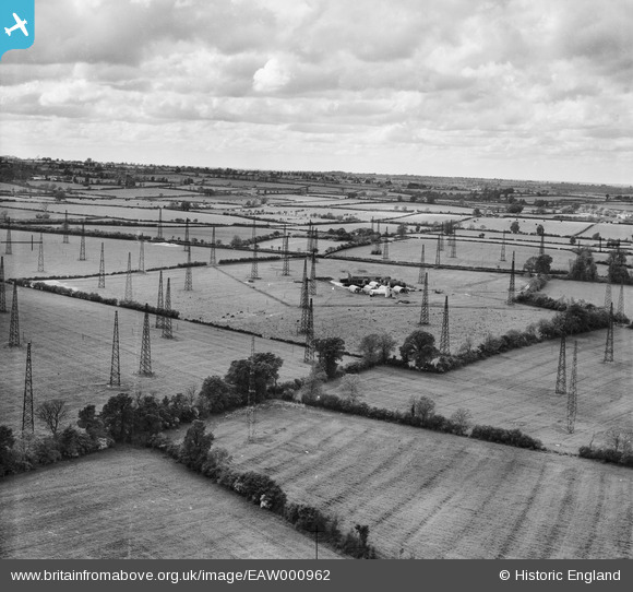
EAW000962 ENGLAND (1946). Radio masts at RAF Stoke Hammond, Stoke Hammond, from the south-east, 1946
© Copyright OpenStreetMap contributors and licensed by the OpenStreetMap Foundation. 2026. Cartography is licensed as CC BY-SA.
Nearby Images (2)
EAW000962

EAW000968

Details
| Title | [EAW000962] Radio masts at RAF Stoke Hammond, Stoke Hammond, from the south-east, 1946 |
| Reference | EAW000962 |
| Date | 28-May-1946 |
| Link | |
| Place name | STOKE HAMMOND |
| Parish | STOKE HAMMOND |
| District | |
| Country | ENGLAND |
| Easting / Northing | 487142, 228970 |
| Longitude / Latitude | -0.73185410157881, 51.951954932449 |
| National Grid Reference | SP871290 |
Pins
Be the first to add a comment to this image!