
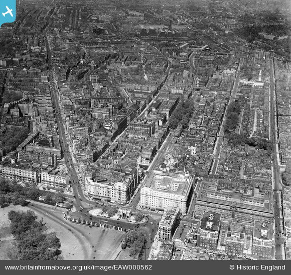
EAW000562 ENGLAND (1946). Marble Arch, Great Cumberland Place and the Edgware Road, Marylebone, from the south-east, 1946
© Copyright OpenStreetMap contributors and licensed by the OpenStreetMap Foundation. 2026. Cartography is licensed as CC BY-SA.
Nearby Images (38)
EAW000562

EPW044580

EAW046366

EAW050846

EAW050847

EPW044582

EPW044579

EPW005989

EPW059408

EAW053006

EPW005906

EPW060763

EPW007997

EPW007999

EPW035003

EPW035003
EAW000567

EPW007998

EAW050852

EPW059414

EAW000545

EPW035004

EAW050845

EAW050870

EAW000566

EPW006158

EPW059413

EPW055350

EAW029834

EAW052481

EPW059409

EPW011416

EPW021405

EPW021436

EAW000564

EPR000431

EAW030118

EAW004918

Details
| Title | [EAW000562] Marble Arch, Great Cumberland Place and the Edgware Road, Marylebone, from the south-east, 1946 |
| Reference | EAW000562 |
| Date | 9-May-1946 |
| Link | |
| Place name | MARYLEBONE |
| Parish | |
| District | |
| Country | ENGLAND |
| Easting / Northing | 527848, 181018 |
| Longitude / Latitude | -0.15737065547633, 51.51312065656 |
| National Grid Reference | TQ278810 |
Pins

Class31 |
Wednesday 11th of March 2015 03:31:44 PM | |
|
Class31 |
Wednesday 11th of March 2015 09:00:53 AM | |
|
Class31 |
Thursday 31st of July 2014 06:04:19 PM | |

Alan McFaden |
Thursday 14th of November 2013 05:50:36 PM | |
|
Alan McFaden |
Thursday 14th of November 2013 05:49:59 PM |


