
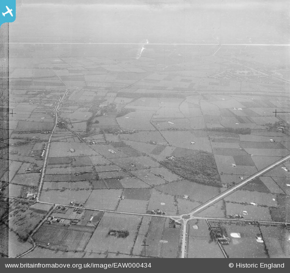
EAW000434 ENGLAND (1946). Big Wood and surrounding countryside, Saughall, from the north-east, 1946
© Copyright OpenStreetMap contributors and licensed by the OpenStreetMap Foundation. 2026. Cartography is licensed as CC BY-SA.
Nearby Images (2)
EAW000434

EAW000426
 and surrounding countryside, New Covert, from the east, 1946")
Details
| Title | [EAW000434] Big Wood and surrounding countryside, Saughall, from the north-east, 1946 |
| Reference | EAW000434 |
| Date | 18-April-1946 |
| Link | |
| Place name | SAUGHALL |
| Parish | SAUGHALL |
| District | |
| Country | ENGLAND |
| Easting / Northing | 336412, 371311 |
| Longitude / Latitude | -2.9527930641224, 53.234739764882 |
| National Grid Reference | SJ364713 |
Pins

Bunn72 |
Tuesday 9th of June 2015 07:28:51 PM | |
|
Bunn72 |
Tuesday 9th of June 2015 07:28:30 PM | |
|
Bunn72 |
Tuesday 9th of June 2015 07:27:31 PM | |
|
Bunn72 |
Tuesday 9th of June 2015 07:26:47 PM | |
|
Bunn72 |
Tuesday 9th of June 2015 07:26:18 PM | |
|
Bunn72 |
Tuesday 9th of June 2015 07:25:33 PM | |
|
Bunn72 |
Tuesday 9th of June 2015 07:24:07 PM | |
|
Bunn72 |
Tuesday 9th of June 2015 07:23:10 PM |