
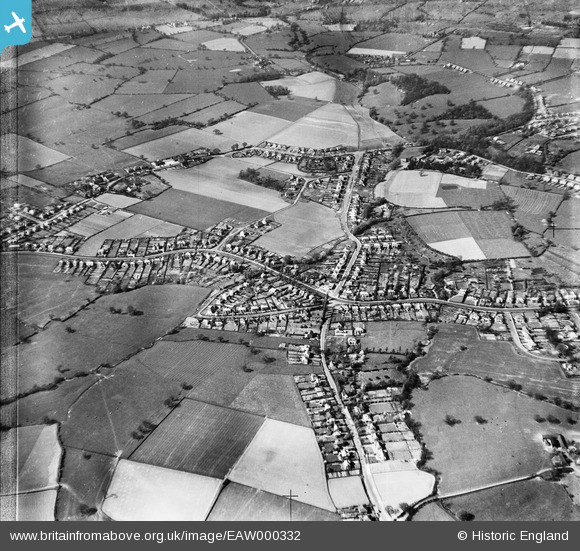
EAW000332 ENGLAND (1946). Housing at Wells Green, Wistaston, 1946
© Copyright OpenStreetMap contributors and licensed by the OpenStreetMap Foundation. 2026. Cartography is licensed as CC BY-SA.
Nearby Images (3)
EAW000332

EAW000335

EAW000341

Details
| Title | [EAW000332] Housing at Wells Green, Wistaston, 1946 |
| Reference | EAW000332 |
| Date | 19-April-1946 |
| Link | |
| Place name | WISTASTON |
| Parish | WISTASTON |
| District | |
| Country | ENGLAND |
| Easting / Northing | 368672, 353574 |
| Longitude / Latitude | -2.4677046945532, 53.078173351607 |
| National Grid Reference | SJ687536 |
Pins

AndyC |
Sunday 8th of December 2013 02:34:15 AM |