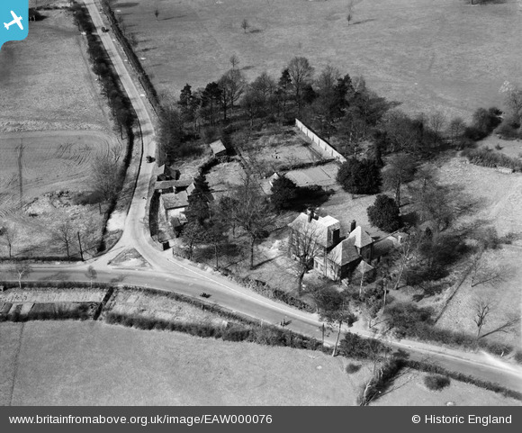
EAW000076 ENGLAND (1946). Elm Lodge, Elstree, 1946
© Copyright OpenStreetMap contributors and licensed by the OpenStreetMap Foundation. 2026. Cartography is licensed as CC BY-SA.
Details
| Title | [EAW000076] Elm Lodge, Elstree, 1946 |
| Reference | EAW000076 |
| Date | 31-March-1946 |
| Link | |
| Place name | ELSTREE |
| Parish | ELSTREE AND BOREHAMWOOD |
| District | |
| Country | ENGLAND |
| Easting / Northing | 517525, 195346 |
| Longitude / Latitude | -0.30128333552165, 51.644149223909 |
| National Grid Reference | TQ175953 |


![[EAW000076] Elm Lodge, Elstree, 1946](http://britainfromabove.org.uk/sites/all/libraries/aerofilms-images/public/100x100/EAW/000/EAW000076.jpg)
![[EAW043878] Housing surrounding Sullivan Way and Aldenham Park, Elstree, 1952. This image was marked by Aerofilms Ltd for photo editing.](http://britainfromabove.org.uk/sites/all/libraries/aerofilms-images/public/100x100/EAW/043/EAW043878.jpg)

