
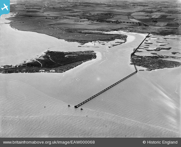
EAW000068 ENGLAND (1946). The Bee Ness Jetty, Oakham Marsh and Damhead Creek, Kingsnorth, 1946
© Copyright OpenStreetMap contributors and licensed by the OpenStreetMap Foundation. 2026. Cartography is licensed as CC BY-SA.
Nearby Images (4)
EAW000068

EAW000064

EAW000065

EAW000067

Details
| Title | [EAW000068] The Bee Ness Jetty, Oakham Marsh and Damhead Creek, Kingsnorth, 1946 |
| Reference | EAW000068 |
| Date | 31-March-1946 |
| Link | |
| Place name | KINGSNORTH |
| Parish | HOO ST. WERBURGH |
| District | |
| Country | ENGLAND |
| Easting / Northing | 583484, 172705 |
| Longitude / Latitude | 0.63939892080937, 51.42311818652 |
| National Grid Reference | TQ835727 |
Pins
Be the first to add a comment to this image!