
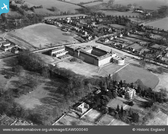
EAW000040 ENGLAND (1946). The County Hall, Hertford, 1946
© Copyright OpenStreetMap contributors and licensed by the OpenStreetMap Foundation. 2026. Cartography is licensed as CC BY-SA.
Nearby Images (8)
EAW000040

EAW000039

EAW000043

EAW000042

EAW000041

EAW000044

EAW052996

EAW053075

Details
| Title | [EAW000040] The County Hall, Hertford, 1946 |
| Reference | EAW000040 |
| Date | 25-March-1946 |
| Link | |
| Place name | HERTFORD |
| Parish | HERTFORD |
| District | |
| Country | ENGLAND |
| Easting / Northing | 532417, 212010 |
| Longitude / Latitude | -0.079820798724342, 51.790600987642 |
| National Grid Reference | TL324120 |
Pins

Nick G |
Sunday 20th of October 2013 07:51:36 PM | |
|
Nick G |
Sunday 20th of October 2013 07:51:02 PM | |
|
Nick G |
Sunday 20th of October 2013 07:50:41 PM | |
|
Nick G |
Sunday 20th of October 2013 07:50:18 PM | |
|
Nick G |
Sunday 20th of October 2013 07:49:56 PM |