
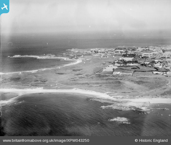
xpw043250 GUERNSEY (1933). Golf Links, L'Ancresse, Guernsey, Guernsey, 1933. Oblique aerial photograph taken facing East.
© Copyright OpenStreetMap contributors and licensed by the OpenStreetMap Foundation. 2025. Cartography is licensed as CC BY-SA.
Nearby Images (3)
XPW043250

XPW043221

XPW043249

Details
| Title | [XPW043250] Golf Links, L'Ancresse, Guernsey, Guernsey, 1933. Oblique aerial photograph taken facing East. |
| Reference | XPW043250 |
| Date | 1933 |
| Link | |
| Place name | L'ANCRESSE |
| Parish | GUERNSEY |
| District | |
| Country | GUERNSEY |
| Easting / Northing | 361315, -44350 |
| Longitude / Latitude | -2.535568, 49.5001 |
| National Grid Reference |
Pins
Be the first to add a comment to this image!