
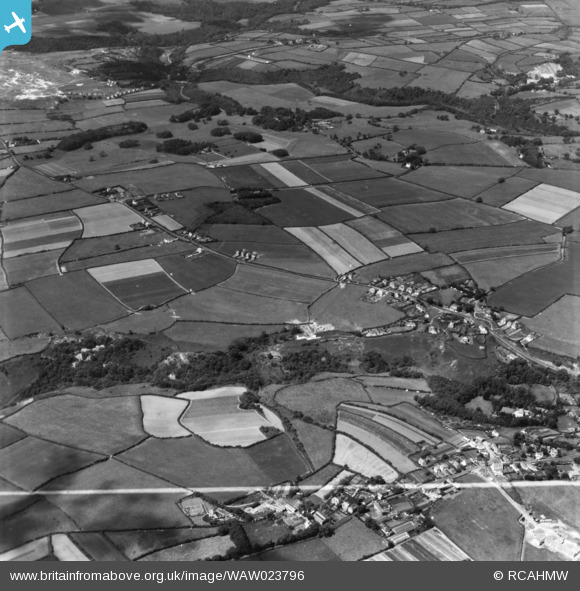
waw023796 WALES (1949). View down the Bishopston valley toward Pennard Burrows showing Kittle and Bishopston in foreground. Oblique aerial photograph, 5½" cut roll film.
© Copyright OpenStreetMap contributors and licensed by the OpenStreetMap Foundation. 2025. Cartography is licensed as CC BY-SA.
Nearby Images (7)
WAW023792

WAW023793

WAW023794

WAW023795

WAW023796

WAW023797

WAW023798

Details
| Title | [WAW023796] View down the Bishopston valley toward Pennard Burrows showing Kittle and Bishopston in foreground. Oblique aerial photograph, 5½" cut roll film. |
| Reference | WAW023796 |
| Date | 1949 |
| Link | Coflein Archive Item 6423428 |
| Place name | |
| Parish | |
| District | |
| Country | WALES |
| Easting / Northing | 257555, 189544 |
| Longitude / Latitude | -4.0563256925589, 51.586248722536 |
| National Grid Reference | SS576895 |
Pins
Be the first to add a comment to this image!