
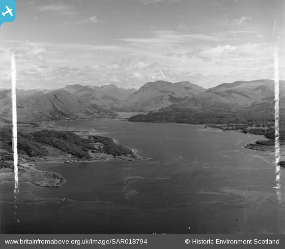
sar018794 SCOTLAND (1953). Loch Creran Lismore and Appin, Argyll, Scotland. An oblique aerial photograph taken facing East. This image was marked by AeroPictorial Ltd for photo editing.
© Copyright OpenStreetMap contributors and licensed by the OpenStreetMap Foundation. 2025. Cartography is licensed as CC BY-SA.
Details
| Title | [SAR018794] Loch Creran Lismore and Appin, Argyll, Scotland. An oblique aerial photograph taken facing East. This image was marked by AeroPictorial Ltd for photo editing. |
| Reference | SAR018794 |
| Date | 1953 |
| Link | Canmore Collection item 1438104 |
| Place name | |
| Parish | LISMORE AND APPIN (ARGYLL AND BUTE) |
| District | ARGYLL AND BUTE |
| Country | SCOTLAND |
| Easting / Northing | 197800, 744300 |
| Longitude / Latitude | -5.2897021743257, 56.547197227096 |
| National Grid Reference | NM978443 |
Pins
 Bill_Gensheet |
Thursday 8th of November 2018 01:13:53 AM | |
Bill_Gensheet |
Thursday 8th of November 2018 01:13:23 AM |