
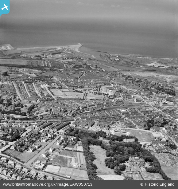
eaw050713 ENGLAND (1953). The town, Workington, from the south-east, 1953
© Copyright OpenStreetMap contributors and licensed by the OpenStreetMap Foundation. 2024. Cartography is licensed as CC BY-SA.
Details
| Title | [EAW050713] The town, Workington, from the south-east, 1953 |
| Reference | EAW050713 |
| Date | 29-June-1953 |
| Link | |
| Place name | WORKINGTON |
| Parish | WORKINGTON |
| District | |
| Country | ENGLAND |
| Easting / Northing | 300340, 528234 |
| Longitude / Latitude | -3.5443413128402, 54.639250689493 |
| National Grid Reference | NY003282 |
Pins
 redmist |
Sunday 7th of February 2021 07:32:06 PM | |
redmist |
Sunday 7th of February 2021 07:30:20 PM | |
redmist |
Sunday 7th of February 2021 07:29:46 PM | |
Chris Bagshaw |
Tuesday 19th of May 2020 05:19:37 PM | |
Chris Bagshaw |
Tuesday 19th of May 2020 05:15:37 PM | |
Chris Bagshaw |
Tuesday 19th of May 2020 05:15:11 PM | |
Chris Bagshaw |
Friday 21st of July 2017 01:02:51 PM | |
DaveH |
Thursday 13th of July 2017 12:54:56 AM |