
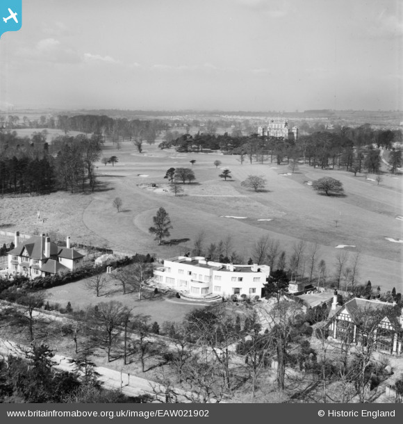
eaw021902 ENGLAND (1949). The Rainbow house (number 608) and Wollaton Park and Hall, Wollaton, from the east, 1949
© Copyright OpenStreetMap contributors and licensed by the OpenStreetMap Foundation. 2025. Cartography is licensed as CC BY-SA.
Nearby Images (3)
EAW021902
 and Wollaton Park and Hall, Wollaton, from the east, 1949")
EAW021901
, Wollaton, 1949")
EAW021903
 and Wollaton Park and Hall, Wollaton, 1949. This image was marked by Aerofilms Ltd for photo editing.")
Details
| Title | [EAW021902] The Rainbow house (number 608) and Wollaton Park and Hall, Wollaton, from the east, 1949 |
| Reference | EAW021902 |
| Date | 8-April-1949 |
| Link | |
| Place name | WOLLATON |
| Parish | |
| District | |
| Country | ENGLAND |
| Easting / Northing | 453882, 338859 |
| Longitude / Latitude | -1.1980646399964, 52.944096098587 |
| National Grid Reference | SK539389 |
Pins
Be the first to add a comment to this image!