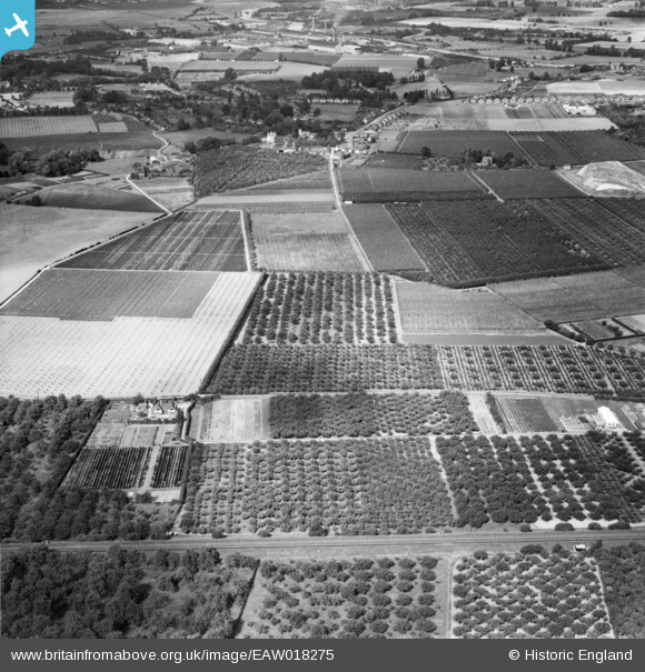
eaw018275 ENGLAND (1948). The East Malling Research Station (Horticultural) site, East Malling, 1948
© Copyright OpenStreetMap contributors and licensed by the OpenStreetMap Foundation. 2024. Cartography is licensed as CC BY-SA.
Details
| Title | [EAW018275] The East Malling Research Station (Horticultural) site, East Malling, 1948 |
| Reference | EAW018275 |
| Date | 20-August-1948 |
| Link | |
| Place name | EAST MALLING |
| Parish | EAST MALLING AND LARKFIELD |
| District | |
| Country | ENGLAND |
| Easting / Northing | 570822, 157150 |
| Longitude / Latitude | 0.44997321394539, 51.287322809998 |
| National Grid Reference | TQ708572 |
Pins
Be the first to add a comment to this image!


![[EAW018275] The East Malling Research Station (Horticultural) site, East Malling, 1948](http://britainfromabove.org.uk/sites/all/libraries/aerofilms-images/public/100x100/EAW/018/EAW018275.jpg)
![[EAW019463] The East Malling Research Station (Horticultural) site and environs, East Malling, 1948. This image has been produced from a print.](http://britainfromabove.org.uk/sites/all/libraries/aerofilms-images/public/100x100/EAW/019/EAW019463.jpg)
![[EAW018276] The East Malling Research Station (Horticultural) and site, Ditton, 1948](http://britainfromabove.org.uk/sites/all/libraries/aerofilms-images/public/100x100/EAW/018/EAW018276.jpg)