
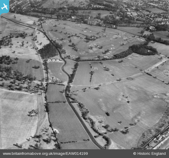
eaw014199 ENGLAND (1948). Richmond Park Golf Course, Richmond, 1948
© Copyright OpenStreetMap contributors and licensed by the OpenStreetMap Foundation. 2025. Cartography is licensed as CC BY-SA.
Details
| Title | [EAW014199] Richmond Park Golf Course, Richmond, 1948 |
| Reference | EAW014199 |
| Date | 7-April-1948 |
| Link | |
| Place name | RICHMOND |
| Parish | |
| District | |
| Country | ENGLAND |
| Easting / Northing | 521500, 173050 |
| Longitude / Latitude | -0.25155639975214, 51.442902669397 |
| National Grid Reference | TQ215731 |
Pins
 Anmer |
Thursday 20th of April 2023 04:26:26 PM | |
Anmer |
Thursday 20th of April 2023 04:22:00 PM | |
Anmer |
Thursday 20th of April 2023 04:20:16 PM | |
Anmer |
Thursday 20th of April 2023 04:17:07 PM | |
Anmer |
Thursday 20th of April 2023 04:10:13 PM | |
Jim |
Thursday 29th of October 2015 04:49:06 PM | |
Jim |
Thursday 29th of October 2015 04:47:15 PM |