
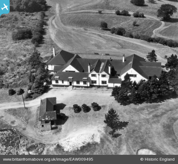
eaw009495 ENGLAND (1947). The Club House at Rushcliffe Golf Course, East Leake, 1947. This image has been produced from a print.
© Copyright OpenStreetMap contributors and licensed by the OpenStreetMap Foundation. 2025. Cartography is licensed as CC BY-SA.
Nearby Images (4)
EAW009495

EAW009496

EAW009486

EAW009488

Details
| Title | [EAW009495] The Club House at Rushcliffe Golf Course, East Leake, 1947. This image has been produced from a print. |
| Reference | EAW009495 |
| Date | 19-August-1947 |
| Link | |
| Place name | EAST LEAKE |
| Parish | EAST LEAKE |
| District | |
| Country | ENGLAND |
| Easting / Northing | 454901, 327762 |
| Longitude / Latitude | -1.1847743933113, 52.844236711909 |
| National Grid Reference | SK549278 |
Pins
Be the first to add a comment to this image!