
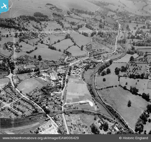
eaw006429 ENGLAND (1947). Dudbridge Road and environs, Lightpill, 1947. This image was marked by Aerofilms Ltd for photo editing.
© Copyright OpenStreetMap contributors and licensed by the OpenStreetMap Foundation. 2025. Cartography is licensed as CC BY-SA.
Nearby Images (15)
EAW006429

EAW006427

EAW006432

EAW006431

EAW006430

EAW006425

EAW006433

EAW016111

EAW006435

EAW016115
, Lightpill, from the north-east, 1948. This image has been produced from a damaged negative.")
EAW016113

EAW016112

EAW006436

EAW016116

EAW006428

Details
| Title | [EAW006429] Dudbridge Road and environs, Lightpill, 1947. This image was marked by Aerofilms Ltd for photo editing. |
| Reference | EAW006429 |
| Date | 29-May-1947 |
| Link | |
| Place name | LIGHTPILL |
| Parish | RODBOROUGH |
| District | |
| Country | ENGLAND |
| Easting / Northing | 383977, 204077 |
| Longitude / Latitude | -2.2320528554893, 51.734717816655 |
| National Grid Reference | SO840041 |
Pins
 Robert |
Sunday 20th of February 2022 12:22:28 PM | |
Robert |
Sunday 20th of February 2022 12:20:50 PM | |
Robert |
Friday 22nd of January 2016 02:34:40 PM | |
Robert |
Friday 22nd of January 2016 02:33:40 PM | |
Robert |
Friday 22nd of January 2016 02:31:43 PM | |
Robert |
Friday 22nd of January 2016 02:29:55 PM |