
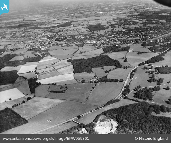
EPW059361 ENGLAND (1938). Siblet's Wood and surrounding countryside, Chalfont St Peter, from the south-west, 1938
© Copyright OpenStreetMap contributors and licensed by the OpenStreetMap Foundation. 2024. Cartography is licensed as CC BY-SA.
Details
| Title | [EPW059361] Siblet's Wood and surrounding countryside, Chalfont St Peter, from the south-west, 1938 |
| Reference | EPW059361 |
| Date | 13-September-1938 |
| Link | |
| Place name | CHALFONT ST PETER |
| Parish | CHALFONT ST. PETER |
| District | |
| Country | ENGLAND |
| Easting / Northing | 498141, 189348 |
| Longitude / Latitude | -0.58304038585279, 51.593947876178 |
| National Grid Reference | SU981893 |
Pins
Be the first to add a comment to this image!


