EPW001892 ENGLAND (1920). General view of Lowestoft and the Harbour, Lowestoft, 1920

© Copyright OpenStreetMap contributors and licensed by the OpenStreetMap Foundation. 2025. Cartography is licensed as CC BY-SA.
Details
| Title | [EPW001892] General view of Lowestoft and the Harbour, Lowestoft, 1920 |
| Reference | EPW001892 |
| Date | June-1920 |
| Link | |
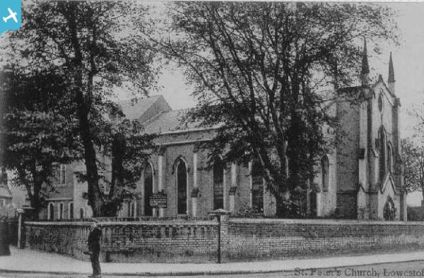
| Place name | LOWESTOFT |
| Parish | |
| District | |
| Country | ENGLAND |
| Easting / Northing | 654958, 293249 |
| Longitude / Latitude | 1.7549471065604, 52.47712817067 |
| National Grid Reference | TM550932 |
Pins
 Harvey |
Saturday 1st of July 2023 02:22:31 PM | |
Eddy |
Wednesday 19th of August 2020 09:48:41 PM | |
Eddy |
Wednesday 19th of August 2020 01:39:06 PM | |
Eddy |
Wednesday 19th of August 2020 01:38:13 PM | |
Brightonboy |
Wednesday 17th of June 2020 09:42:07 PM | |
Brightonboy |
Wednesday 17th of June 2020 09:39:32 PM | |
Pip |
Wednesday 4th of February 2015 07:49:58 PM | |
derbyminer |
Monday 22nd of September 2014 08:21:54 PM | |
Brightonboy |
Tuesday 16th of April 2013 08:21:22 PM | |
Brightonboy |
Tuesday 16th of April 2013 08:19:10 PM |