
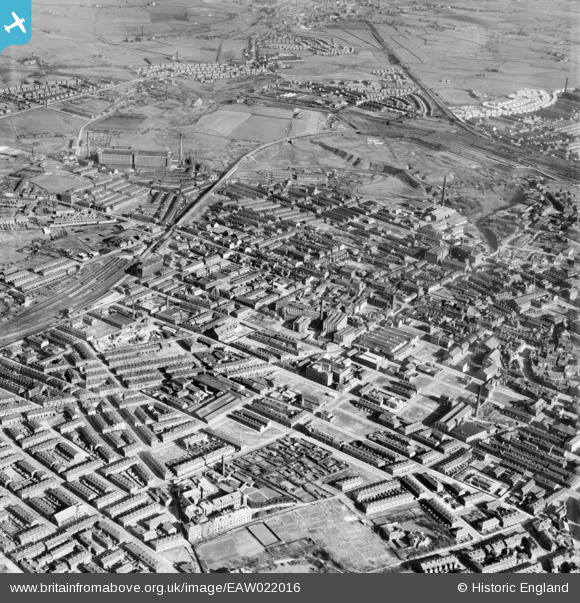
EAW022016 ENGLAND (1949). The town centre, Rochdale, from the north-west, 1949
© Copyright OpenStreetMap contributors and licensed by the OpenStreetMap Foundation. 2024. Cartography is licensed as CC BY-SA.
Details
| Title | [EAW022016] The town centre, Rochdale, from the north-west, 1949 |
| Reference | EAW022016 |
| Date | 14-April-1949 |
| Link | |
| Place name | ROCHDALE |
| Parish | |
| District | |
| Country | ENGLAND |
| Easting / Northing | 389655, 414033 |
| Longitude / Latitude | -2.156423048095, 53.622497625681 |
| National Grid Reference | SD897140 |
Pins
 Mikeya |
Sunday 6th of April 2014 11:37:07 AM | |
Mikeya |
Sunday 6th of April 2014 11:36:39 AM | |
Mikeya |
Sunday 6th of April 2014 11:35:53 AM | |
Mikeya |
Sunday 6th of April 2014 11:35:20 AM | |
Mikeya |
Sunday 6th of April 2014 11:33:57 AM | |
Mikeya |
Sunday 6th of April 2014 11:33:26 AM | |
Mikeya |
Sunday 6th of April 2014 11:31:27 AM | |
Mikeya |
Sunday 6th of April 2014 11:29:01 AM | |
Mikeya |
Sunday 6th of April 2014 11:28:16 AM | |
Mikeya |
Sunday 6th of April 2014 11:26:54 AM |