
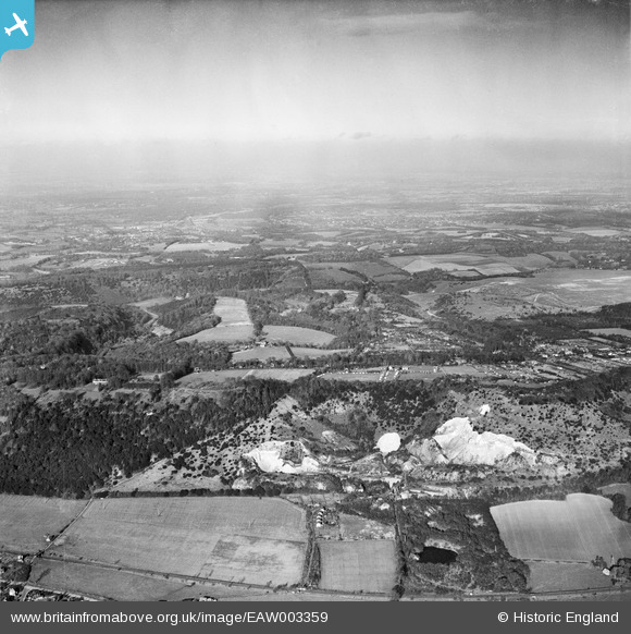
EAW003359 ENGLAND (1946). Brockham Lime Works and environs, Brockham, from the south, 1946
© Copyright OpenStreetMap contributors and licensed by the OpenStreetMap Foundation. 2024. Cartography is licensed as CC BY-SA.
Details
| Title | [EAW003359] Brockham Lime Works and environs, Brockham, from the south, 1946 |
| Reference | EAW003359 |
| Date | 13-November-1946 |
| Link | |
| Place name | BROCKHAM |
| Parish | BROCKHAM |
| District | |
| Country | ENGLAND |
| Easting / Northing | 519724, 150951 |
| Longitude / Latitude | -0.28453554000922, 51.244639773799 |
| National Grid Reference | TQ197510 |
Pins
 Sparky |
Wednesday 13th of September 2017 08:28:43 AM | |
Dan Gregory |
Saturday 20th of August 2016 11:53:46 AM | |
Dan Gregory |
Saturday 20th of August 2016 11:52:20 AM | |
Dan Gregory |
Saturday 13th of September 2014 11:57:04 PM | |
Dan Gregory |
Saturday 13th of September 2014 11:56:08 PM | |
Dan Gregory |
Saturday 13th of September 2014 11:55:15 PM | |
Dan Gregory |
Saturday 13th of September 2014 11:53:54 PM | |
Dan Gregory |
Saturday 13th of September 2014 11:49:48 PM | |
Dan Gregory |
Saturday 13th of September 2014 11:49:08 PM | |
Dan Gregory |
Saturday 13th of September 2014 11:48:04 PM |


