
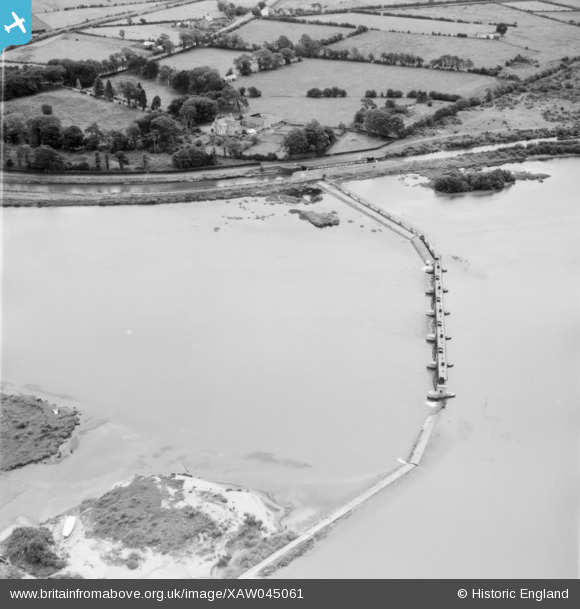
xaw045061 NORTHERN IRELAND (1952). Bridges Between Lough Beg & Neagh, Toome, Antrim, Northern Ireland, 1952. Oblique aerial photograph taken facing East.
© Copyright OpenStreetMap contributors and licensed by the OpenStreetMap Foundation. 2026. Cartography is licensed as CC BY-SA.
Details
| Title | [XAW045061] Bridges Between Lough Beg & Neagh, Toome, Antrim, Northern Ireland, 1952. Oblique aerial photograph taken facing East. |
| Reference | XAW045061 |
| Date | 1952 |
| Link | |
| Place name | TOOME |
| Parish | NORTHERN IRELAND |
| District | |
| Country | NORTHERN IRELAND |
| Easting / Northing | 112650, 548732 |
| Longitude / Latitude | -6.467351, 54.751108 |
| National Grid Reference |
Pins
Be the first to add a comment to this image!