
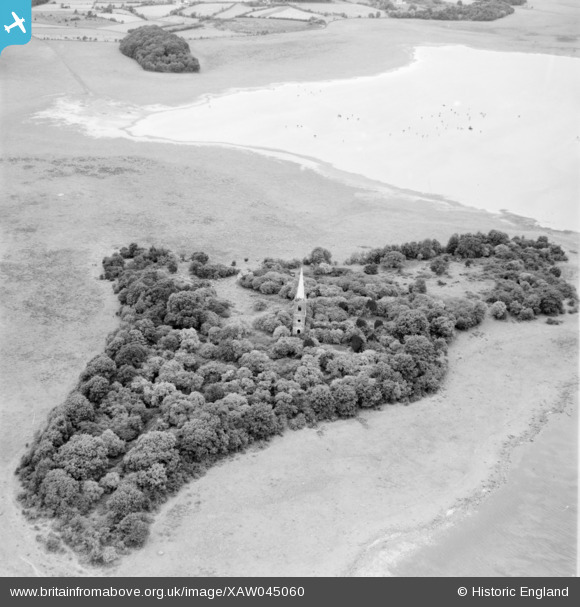
xaw045060 NORTHERN IRELAND (1952). Church Island Lough Beg, Bellaghy, Magherafelt, Northern Ireland, 1952. Oblique aerial photograph taken facing North.
© Copyright OpenStreetMap contributors and licensed by the OpenStreetMap Foundation. 2025. Cartography is licensed as CC BY-SA.
Nearby Images (2)
XAW045060

XAW045059

Details
| Title | [XAW045060] Church Island Lough Beg, Bellaghy, Magherafelt, Northern Ireland, 1952. Oblique aerial photograph taken facing North. |
| Reference | XAW045060 |
| Date | 1952 |
| Link | |
| Place name | BELLAGHY |
| Parish | NORTHERN IRELAND |
| District | |
| Country | NORTHERN IRELAND |
| Easting / Northing | 111754, 553244 |
| Longitude / Latitude | -6.485701, 54.791022 |
| National Grid Reference |
Pins
Be the first to add a comment to this image!