
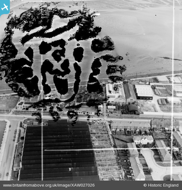
xaw027026 IRELAND (1949). Tonge & Taggart Ltd., Iron Foundry, East Wall Lane, Dublin, Dublin, Ireland, 1949. Oblique aerial photograph taken facing North/East. This image was marked by Aerofilms Ltd for photo editing and has been produced from a damaged negative.
© Copyright OpenStreetMap contributors and licensed by the OpenStreetMap Foundation. 2026. Cartography is licensed as CC BY-SA.
Nearby Images (7)
XAW027026

XAW027030

XAW027025

XAW027031

XAW027029

XAW027027

XAW027028

Details
| Title | [XAW027026] Tonge & Taggart Ltd., Iron Foundry, East Wall Lane, Dublin, Dublin, Ireland, 1949. Oblique aerial photograph taken facing North/East. This image was marked by Aerofilms Ltd for photo editing and has been produced from a damaged negative. |
| Reference | XAW027026 |
| Date | 30-September-1949 |
| Link | |
| Place name | DUBLIN |
| Parish | IRELAND |
| District | |
| Country | IRELAND |
| Easting / Northing | 118519, 392858 |
| Longitude / Latitude | -6.231748, 53.357454 |
| National Grid Reference |
Pins
Be the first to add a comment to this image!