
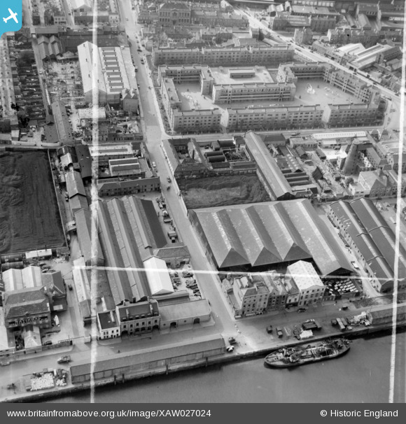
xaw027024 IRELAND (1949). Tonge & Taggart Ltd., Windmill Lane, Sir Johns Quay, Dublin, Dublin, Ireland, 1949. Oblique aerial photograph taken facing South. This image was marked by Aerofilms Ltd for photo editing.
© Copyright OpenStreetMap contributors and licensed by the OpenStreetMap Foundation. 2026. Cartography is licensed as CC BY-SA.
Nearby Images (8)
XAW027024

XAW027019

XAW027017

XAW027023

XAW027021

XAW027022

XAW027020

XAW027018

Details
| Title | [XAW027024] Tonge & Taggart Ltd., Windmill Lane, Sir Johns Quay, Dublin, Dublin, Ireland, 1949. Oblique aerial photograph taken facing South. This image was marked by Aerofilms Ltd for photo editing. |
| Reference | XAW027024 |
| Date | 30-September-1949 |
| Link | |
| Place name | DUBLIN |
| Parish | IRELAND |
| District | |
| Country | IRELAND |
| Easting / Northing | 117630, 391560 |
| Longitude / Latitude | -6.243909, 53.345344 |
| National Grid Reference |
Pins
Be the first to add a comment to this image!