
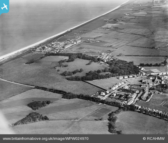
wpw024970 WALES (1928). View of Pentre Mawr School, Abergele, taken for Messrs E & J Sales, oblique aerial view. 5"x4" black and white glass plate negative.
© Copyright OpenStreetMap contributors and licensed by the OpenStreetMap Foundation. 2024. Cartography is licensed as CC BY-SA.
Nearby Images (4)
WPW024960

WPW024970

WPW024971

WPW024973

Details
| Title | [WPW024970] View of Pentre Mawr School, Abergele, taken for Messrs E & J Sales, oblique aerial view. 5"x4" black and white glass plate negative. |
| Reference | WPW024970 |
| Date | 28-October-1928 |
| Link | Coflein Archive Item 6378275 |
| Place name | |
| Parish | |
| District | |
| Country | WALES |
| Easting / Northing | 294650, 378220 |
| Longitude / Latitude | -3.580628062224, 53.290184348509 |
| National Grid Reference | SH947782 |
Pins
 Robbieca |
Tuesday 24th of September 2013 05:23:32 PM |