
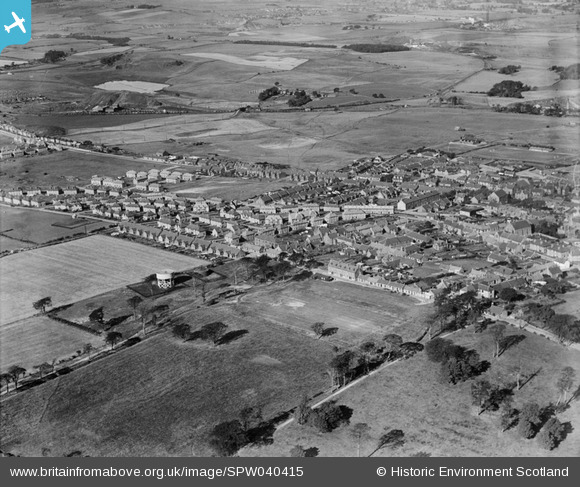
spw040415 SCOTLAND (1932). Lochgelly, general view, showing Main Street and Paul Street. An oblique aerial photograph taken facing west.
© Copyright OpenStreetMap contributors and licensed by the OpenStreetMap Foundation. 2025. Cartography is licensed as CC BY-SA.
Details
| Title | [SPW040415] Lochgelly, general view, showing Main Street and Paul Street. An oblique aerial photograph taken facing west. |
| Reference | SPW040415 |
| Date | 1932 |
| Link | Canmore Collection item 1257487 |
| Place name | |
| Parish | AUCHTERDERRAN |
| District | KIRKCALDY |
| Country | SCOTLAND |
| Easting / Northing | 318655, 693071 |
| Longitude / Latitude | -3.3086238658197, 56.123497279072 |
| National Grid Reference | NT187931 |
Pins
 karen Smith |
Thursday 7th of March 2024 04:27:36 PM |