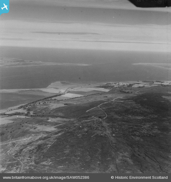
saw052386 SCOTLAND (1953). Dornoch Firth, general view, showing Morangie and Dornoch Point. An oblique aerial photograph taken facing north-east. This image has been produced from a print.
© Copyright OpenStreetMap contributors and licensed by the OpenStreetMap Foundation. 2025. Cartography is licensed as CC BY-SA.
Details
| Title | [SAW052386] Dornoch Firth, general view, showing Morangie and Dornoch Point. An oblique aerial photograph taken facing north-east. This image has been produced from a print. |
| Reference | SAW052386 |
| Date | 1953 |
| Link | Canmore Collection item 1315358 |
| Place name | |
| Parish | TAIN |
| District | ROSS AND CROMARTY |
| Country | SCOTLAND |
| Easting / Northing | 274900, 884380 |
| Longitude / Latitude | -4.1069581296001, 57.831714210342 |
| National Grid Reference | NH749844 |
Pins
 redmist |
Tuesday 2nd of February 2021 07:57:08 PM |

