
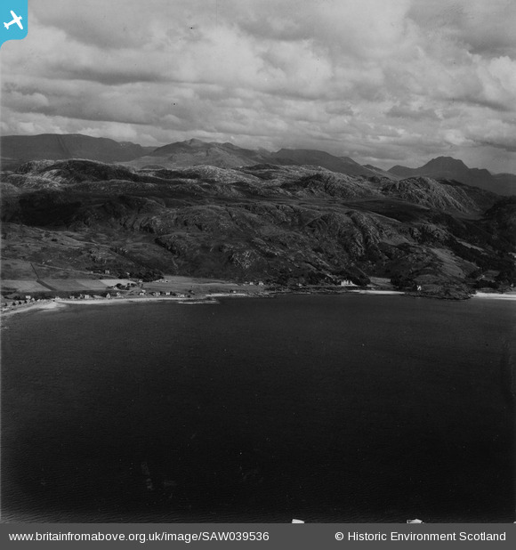
saw039536 SCOTLAND (1951). Gairloch, general view, showing Druim Achadh na Sgeilpe and Meall Achadh Deisteil. An oblique aerial photograph taken facing east. This image has been produced from a damaged print.
© Copyright OpenStreetMap contributors and licensed by the OpenStreetMap Foundation. 2026. Cartography is licensed as CC BY-SA.
Details
| Title | [SAW039536] Gairloch, general view, showing Druim Achadh na Sgeilpe and Meall Achadh Deisteil. An oblique aerial photograph taken facing east. This image has been produced from a damaged print. |
| Reference | SAW039536 |
| Date | 1951 |
| Link | NRHE Collection item 1315311 |
| Place name | |
| Parish | GAIRLOCH |
| District | ROSS AND CROMARTY |
| Country | SCOTLAND |
| Easting / Northing | 180550, 876270 |
| Longitude / Latitude | -5.6856342915907, 57.722717949467 |
| National Grid Reference | NG806763 |
Pins
Be the first to add a comment to this image!