
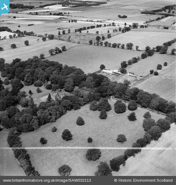
saw032113 SCOTLAND (1950). Invergowrie House and Farmstead, Ninewells, Dundee. An oblique aerial photograph taken facing north-west. This image has been produced from a crop marked negative.
© Copyright OpenStreetMap contributors and licensed by the OpenStreetMap Foundation. 2025. Cartography is licensed as CC BY-SA.
Nearby Images (6)
SAW032110

SAW032111

SAW032112

SAW032113

SAW032114

SAW032115

Details
| Title | [SAW032113] Invergowrie House and Farmstead, Ninewells, Dundee. An oblique aerial photograph taken facing north-west. This image has been produced from a crop marked negative. |
| Reference | SAW032113 |
| Date | 1950 |
| Link | NRHE Collection item 1269688 |
| Place name | |
| Parish | DUNDEE (DUNDEE, CITY OF) |
| District | CITY OF DUNDEE |
| Country | SCOTLAND |
| Easting / Northing | 336189, 730392 |
| Longitude / Latitude | -3.0356344129655, 56.461449577248 |
| National Grid Reference | NO362304 |
Pins

Ross Kirk |
Monday 5th of January 2015 10:12:17 PM | |
|
Ross Kirk |
Monday 5th of January 2015 10:11:51 PM | |
|
Ross Kirk |
Monday 5th of January 2015 10:11:20 PM | |
|
Ross Kirk |
Monday 5th of January 2015 10:10:34 PM | |
|
Ross Kirk |
Monday 5th of January 2015 10:09:50 PM | |
|
Ross Kirk |
Tuesday 26th of June 2012 01:42:48 PM |