
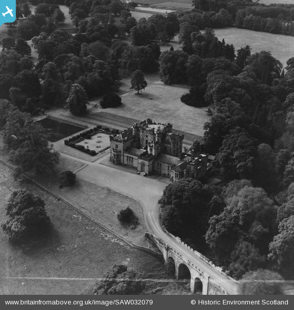
saw032079 SCOTLAND (1950). Oxenfoord Castle School, Pathhead. An oblique aerial photograph taken facing south. This image has been produced from a crop marked print.
© Copyright OpenStreetMap contributors and licensed by the OpenStreetMap Foundation. 2024. Cartography is licensed as CC BY-SA.
Nearby Images (7)
SAW032078

SAW032079

SAW032080

SAW032082

SAW032083

SAW032084

SAW032085

Details
| Title | [SAW032079] Oxenfoord Castle School, Pathhead. An oblique aerial photograph taken facing south. This image has been produced from a crop marked print. |
| Reference | SAW032079 |
| Date | 1950 |
| Link | Canmore Collection item 1315190 |
| Place name | |
| Parish | CRANSTON |
| District | MIDLOTHIAN |
| Country | SCOTLAND |
| Easting / Northing | 338816, 665507 |
| Longitude / Latitude | -2.9780743198851, 55.878860041961 |
| National Grid Reference | NT388655 |
Pins
Be the first to add a comment to this image!