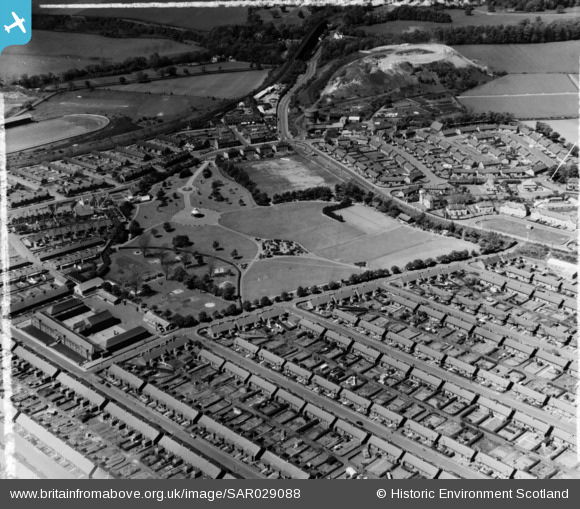
sar029088 SCOTLAND (1957). Newtongrange Cockpen, Midlothian, Scotland. An oblique aerial photograph taken facing North/West. This image was marked by AeroPictorial Ltd for photo editing.
© Copyright OpenStreetMap contributors and licensed by the OpenStreetMap Foundation. 2025. Cartography is licensed as CC BY-SA.
Details
| Title | [SAR029088] Newtongrange Cockpen, Midlothian, Scotland. An oblique aerial photograph taken facing North/West. This image was marked by AeroPictorial Ltd for photo editing. |
| Reference | SAR029088 |
| Date | 1957 |
| Link | Canmore Collection item 1438500 |
| Place name | |
| Parish | NEWBATTLE |
| District | MIDLOTHIAN |
| Country | SCOTLAND |
| Easting / Northing | 333316, 664287 |
| Longitude / Latitude | -3.0656794972372, 55.867169317425 |
| National Grid Reference | NT333643 |
Pins
 Andy A |
Tuesday 11th of August 2015 05:09:32 PM | |
 Andy A |
Tuesday 11th of August 2015 05:08:29 PM | |
 davi1kenobi |
Tuesday 21st of October 2014 12:53:20 PM |

