
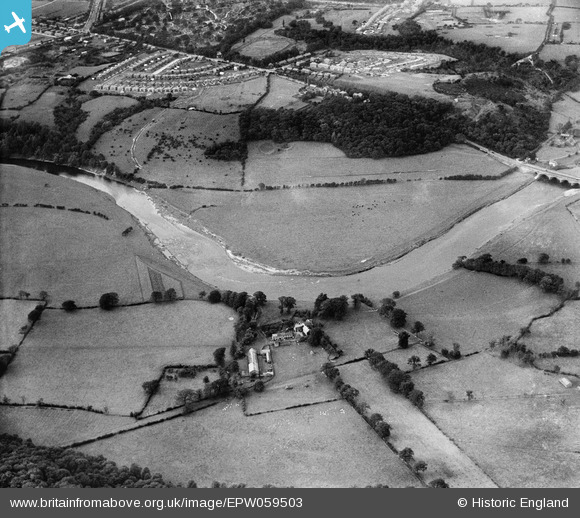
epw059503 ENGLAND (1938). The River Ribble at Cuerdale Hall and housing development at Farringdon Park, Ribbleton, 1938
© Copyright OpenStreetMap contributors and licensed by the OpenStreetMap Foundation. 2025. Cartography is licensed as CC BY-SA.
Details
| Title | [EPW059503] The River Ribble at Cuerdale Hall and housing development at Farringdon Park, Ribbleton, 1938 |
| Reference | EPW059503 |
| Date | 22-September-1938 |
| Link | |
| Place name | RIBBLETON |
| Parish | |
| District | |
| Country | ENGLAND |
| Easting / Northing | 357494, 429617 |
| Longitude / Latitude | -2.6448340753487, 53.760952861068 |
| National Grid Reference | SD575296 |
Pins
Be the first to add a comment to this image!