
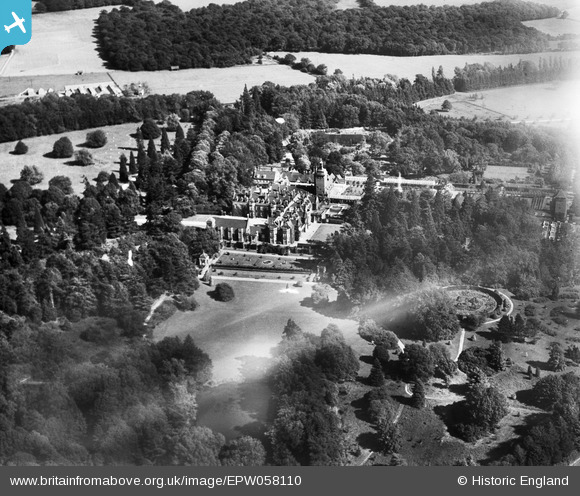
epw058110 ENGLAND (1938). Tylney Hall and Park, Rotherwick, 1938
© Copyright OpenStreetMap contributors and licensed by the OpenStreetMap Foundation. 2025. Cartography is licensed as CC BY-SA.
Nearby Images (4)
EPW058110

EPW058115

EPW058113

EPW058114

Details
| Title | [EPW058110] Tylney Hall and Park, Rotherwick, 1938 |
| Reference | EPW058110 |
| Date | 20-July-1938 |
| Link | |
| Place name | ROTHERWICK |
| Parish | ROTHERWICK |
| District | |
| Country | ENGLAND |
| Easting / Northing | 470926, 155262 |
| Longitude / Latitude | -0.98272305044393, 51.291560154917 |
| National Grid Reference | SU709553 |
Pins
Be the first to add a comment to this image!