
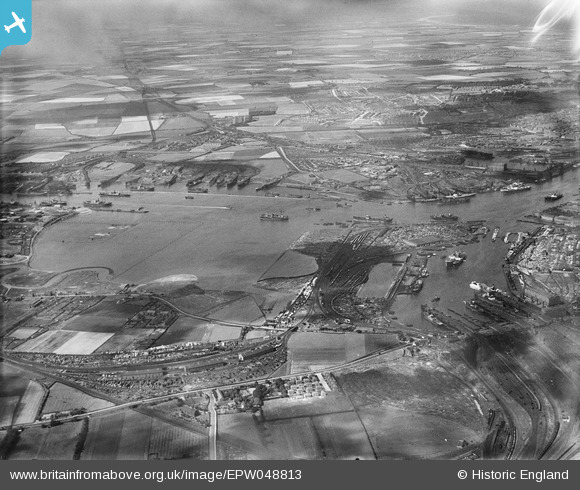
epw048813 ENGLAND (1935). Jarrow Slake and environs, Jarrow, from the south, 1935
© Copyright OpenStreetMap contributors and licensed by the OpenStreetMap Foundation. 2024. Cartography is licensed as CC BY-SA.
Details
| Title | [EPW048813] Jarrow Slake and environs, Jarrow, from the south, 1935 |
| Reference | EPW048813 |
| Date | August-1935 |
| Link | |
| Place name | JARROW |
| Parish | |
| District | |
| Country | ENGLAND |
| Easting / Northing | 434866, 565111 |
| Longitude / Latitude | -1.4551755927978, 54.979308039127 |
| National Grid Reference | NZ349651 |
Pins
 melonseed |
Thursday 3rd of July 2014 10:00:07 PM | |
 Dylan Moore |
Sunday 5th of May 2013 05:07:08 PM |


