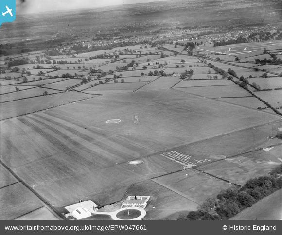
epw047661 ENGLAND (1935). Leicester (Braunstone) Aerodrome, Leicester, 1935
© Copyright OpenStreetMap contributors and licensed by the OpenStreetMap Foundation. 2024. Cartography is licensed as CC BY-SA.
Details
| Title | [EPW047661] Leicester (Braunstone) Aerodrome, Leicester, 1935 |
| Reference | EPW047661 |
| Date | June-1935 |
| Link | |
| Place name | LEICESTER |
| Parish | |
| District | |
| Country | ENGLAND |
| Easting / Northing | 453845, 304262 |
| Longitude / Latitude | -1.2043099939237, 52.633084394159 |
| National Grid Reference | SK538043 |
Pins
Be the first to add a comment to this image!


![[EPW047661] Leicester (Braunstone) Aerodrome, Leicester, 1935](http://britainfromabove.org.uk/sites/all/libraries/aerofilms-images/public/100x100/EPW/047/EPW047661.jpg)
![[EPW047654] Leicester (Braunstone) Aerodrome, Leicester, 1935](http://britainfromabove.org.uk/sites/all/libraries/aerofilms-images/public/100x100/EPW/047/EPW047654.jpg)
![[EPW047660] Leicester (Braunstone) Aerodrome and environs, Leicester, from the north-west, 1935](http://britainfromabove.org.uk/sites/all/libraries/aerofilms-images/public/100x100/EPW/047/EPW047660.jpg)