
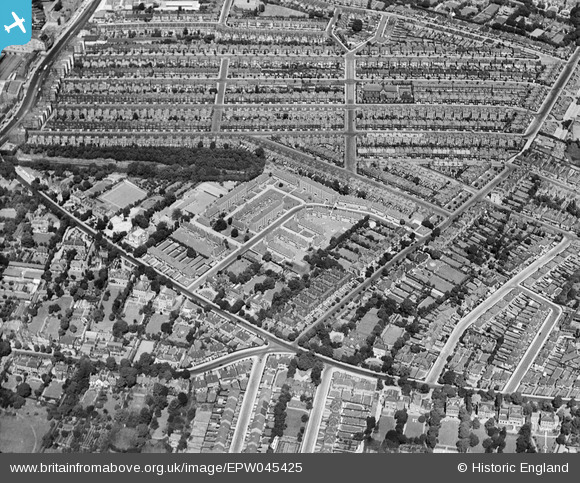
epw045425 ENGLAND (1934). Mountearl Gardens and environs, Streatham, 1934
© Copyright OpenStreetMap contributors and licensed by the OpenStreetMap Foundation. 2025. Cartography is licensed as CC BY-SA.
Details
| Title | [EPW045425] Mountearl Gardens and environs, Streatham, 1934 |
| Reference | EPW045425 |
| Date | July-1934 |
| Link | |
| Place name | STREATHAM |
| Parish | |
| District | |
| Country | ENGLAND |
| Easting / Northing | 530633, 172467 |
| Longitude / Latitude | -0.12041665461847, 51.435629683275 |
| National Grid Reference | TQ306725 |
Pins

Rob |
Sunday 16th of November 2014 08:18:13 PM | |
|
Rob |
Sunday 16th of November 2014 08:14:11 PM | |
|
Rob |
Sunday 16th of November 2014 08:13:03 PM | |
|
Rob |
Sunday 16th of November 2014 08:12:22 PM | |
|
Rob |
Sunday 16th of November 2014 08:11:28 PM | |
|
brianbeckett |
Saturday 20th of September 2014 09:26:52 PM | |
This actually the Gaumont cinema. |
Rob |
Sunday 16th of November 2014 08:21:45 PM |
|
brianbeckett |
Saturday 20th of September 2014 09:26:13 PM | |
This is actually Streatham Hill Theatre |
Rob |
Sunday 16th of November 2014 08:19:42 PM |
|
brianbeckett |
Thursday 18th of September 2014 08:30:02 AM |