
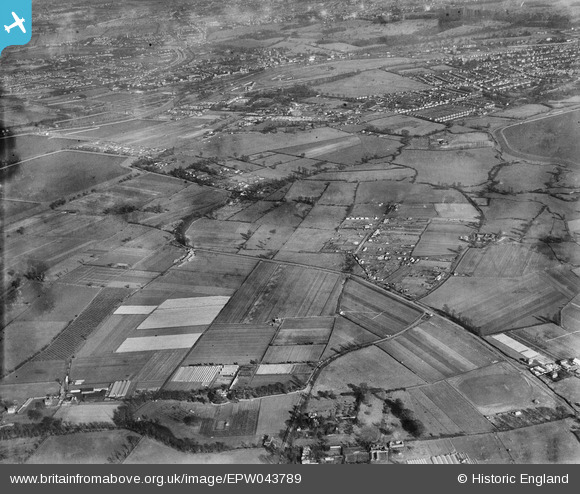
epw043789 ENGLAND (1934). Molesey Road, Field Common and environs, Walton-on-Thames, from the south-west, 1934
© Copyright OpenStreetMap contributors and licensed by the OpenStreetMap Foundation. 2026. Cartography is licensed as CC BY-SA.
Details
| Title | [EPW043789] Molesey Road, Field Common and environs, Walton-on-Thames, from the south-west, 1934 |
| Reference | EPW043789 |
| Date | February-1934 |
| Link | |
| Place name | WALTON-ON-THAMES |
| Parish | |
| District | |
| Country | ENGLAND |
| Easting / Northing | 512056, 166453 |
| Longitude / Latitude | -0.38948546979353, 51.385549358466 |
| National Grid Reference | TQ121665 |
Pins

Dee |
Sunday 8th of September 2019 05:21:13 PM | |
|
Leofrank |
Saturday 1st of March 2014 06:57:18 PM | |
|
nigs |
Sunday 16th of February 2014 04:16:29 PM | |
|
nigs |
Sunday 16th of February 2014 03:50:58 PM | |
|
nigs |
Sunday 16th of February 2014 03:45:47 PM | |
|
nigs |
Tuesday 11th of February 2014 04:40:16 PM | |
Have since found out that the house is in fact more likely to be 'The Grove' which, later on, became Bentall's Sports Ground and Social Club. |
nigs |
Saturday 1st of March 2014 07:09:22 PM |
|
nigs |
Tuesday 11th of February 2014 02:54:12 PM | |
|
nigs |
Tuesday 11th of February 2014 02:39:55 PM | |
|
nigs |
Tuesday 11th of February 2014 02:38:04 PM | |
|
nigs |
Monday 10th of February 2014 10:10:16 PM | |
|
nigs |
Monday 10th of February 2014 08:22:37 PM | |
|
nigs |
Monday 10th of February 2014 08:19:02 PM | |
|
nigs |
Monday 10th of February 2014 08:03:37 PM | |
|
nigs |
Monday 10th of February 2014 07:58:23 PM | |
|
nigs |
Monday 10th of February 2014 07:51:15 PM | |
|
nigs |
Monday 10th of February 2014 07:46:46 PM |