
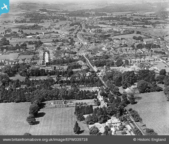
epw039718 ENGLAND (1932). The town and surrounding countryside, Havant, from the south-east, 1932
© Copyright OpenStreetMap contributors and licensed by the OpenStreetMap Foundation. 2024. Cartography is licensed as CC BY-SA.
Details
| Title | [EPW039718] The town and surrounding countryside, Havant, from the south-east, 1932 |
| Reference | EPW039718 |
| Date | August-1932 |
| Link | |
| Place name | HAVANT |
| Parish | |
| District | |
| Country | ENGLAND |
| Easting / Northing | 472348, 106084 |
| Longitude / Latitude | -0.97217362712388, 50.849187091864 |
| National Grid Reference | SU723061 |
Pins
Be the first to add a comment to this image!