
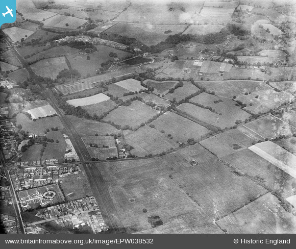
epw038532 ENGLAND (1932). Wilmslow Cemetery, the Handforth Works and surrounding countryside, Finney Green, 1932
© Copyright OpenStreetMap contributors and licensed by the OpenStreetMap Foundation. 2025. Cartography is licensed as CC BY-SA.
Nearby Images (3)
EPW038532

EPW038533

EPW038531

Details
| Title | [EPW038532] Wilmslow Cemetery, the Handforth Works and surrounding countryside, Finney Green, 1932 |
| Reference | EPW038532 |
| Date | June-1932 |
| Link | |
| Place name | FINNEY GREEN |
| Parish | |
| District | |
| Country | ENGLAND |
| Easting / Northing | 385794, 382366 |
| Longitude / Latitude | -2.2133704365398, 53.337738853775 |
| National Grid Reference | SJ858824 |
Pins
 Roger |
Friday 2nd of October 2015 07:30:59 PM | |
Roger |
Friday 2nd of October 2015 07:28:22 PM | |
Roger |
Friday 2nd of October 2015 07:27:58 PM | |
Roger |
Friday 2nd of October 2015 07:24:38 PM | |
Roger |
Friday 2nd of October 2015 07:23:05 PM | |
 Class31 |
Wednesday 27th of March 2013 06:39:39 PM | |
Class31 |
Wednesday 27th of March 2013 06:35:16 PM | |
Class31 |
Wednesday 27th of March 2013 06:19:18 PM | |
Class31 |
Wednesday 27th of March 2013 06:17:44 PM | |
Class31 |
Wednesday 27th of March 2013 06:15:27 PM | |
Class31 |
Wednesday 27th of March 2013 06:14:44 PM | |
Class31 |
Wednesday 27th of March 2013 06:10:42 PM | |
Class31 |
Wednesday 27th of March 2013 06:10:08 PM | |
Class31 |
Wednesday 27th of March 2013 06:09:42 PM | |
Class31 |
Wednesday 27th of March 2013 06:06:38 PM | |
Class31 |
Wednesday 27th of March 2013 06:05:38 PM |