
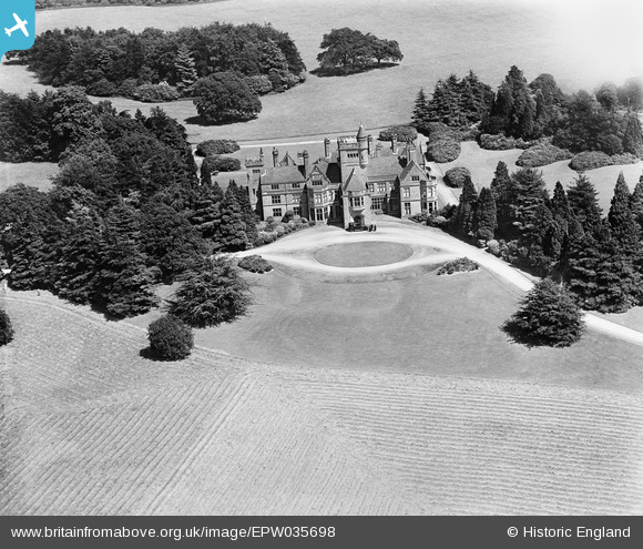
epw035698 ENGLAND (1931). Haseley Manor, Haseley, 1931
© Copyright OpenStreetMap contributors and licensed by the OpenStreetMap Foundation. 2026. Cartography is licensed as CC BY-SA.
Nearby Images (4)
EPW035698

EPW035700

EPW035699

EPW035701

Details
| Title | [EPW035698] Haseley Manor, Haseley, 1931 |
| Reference | EPW035698 |
| Date | June-1931 |
| Link | |
| Place name | HASELEY |
| Parish | BEAUSALE, HASELEY, HONILEY AND WROXALL |
| District | |
| Country | ENGLAND |
| Easting / Northing | 423782, 267939 |
| Longitude / Latitude | -1.6511405743556, 52.308660152775 |
| National Grid Reference | SP238679 |
Pins

totoro |
Saturday 25th of January 2014 04:55:29 PM |